
Find your way outdoors.
Explore orienteering courses, plan checkpoints on the map and follow your runs from start to finish.

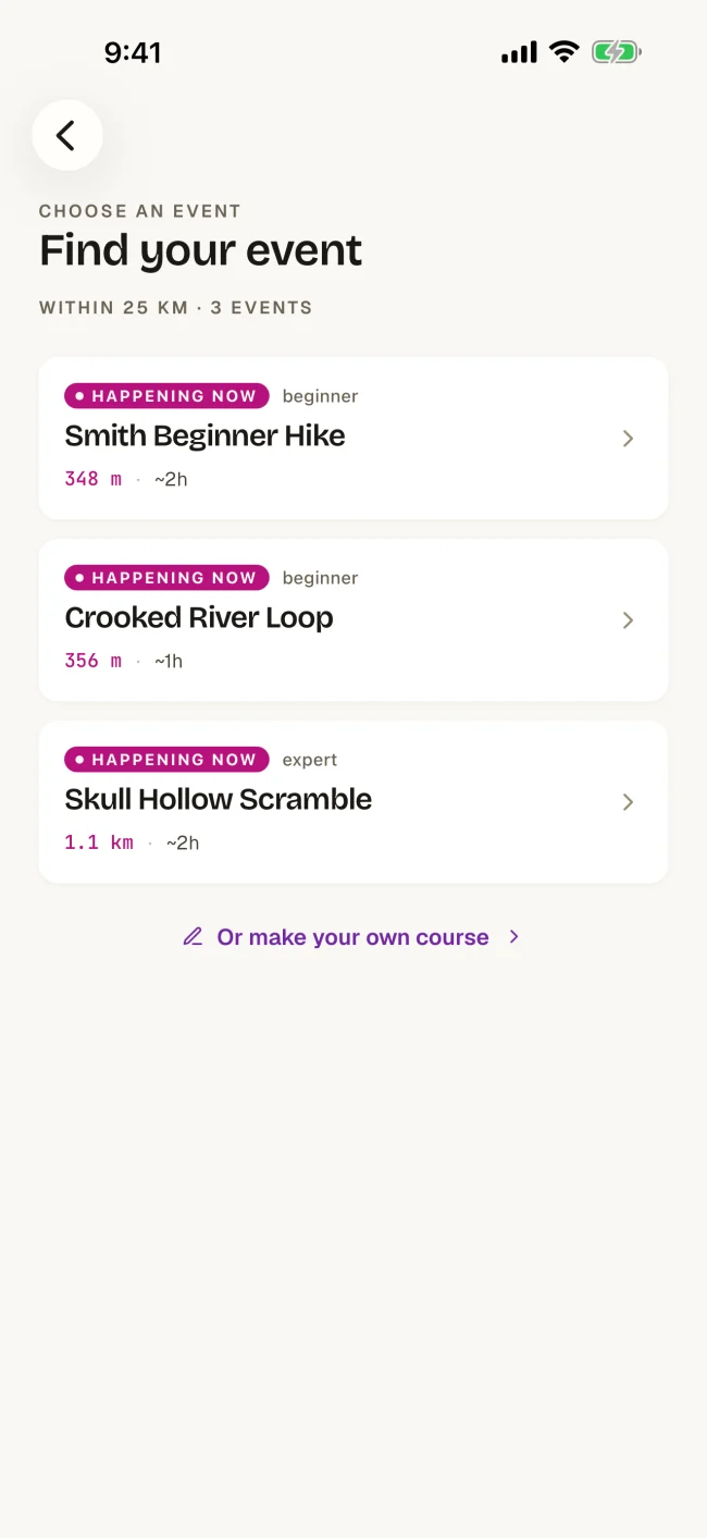
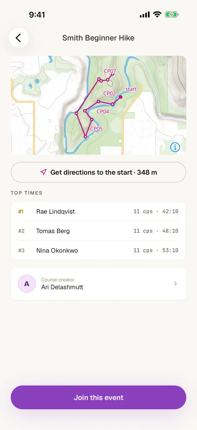
Take your course outside
Follow the map on your phone, check in at checkpoints and review your run when you finish.


Design a course
With Orienteer's intuitive interface, you can create orienteering maps in no time. Simply drag and drop markers onto the map, add altitude and other checkpoint info, and arrange them as needed. You can even customize and print your maps, or upload custom map files to suit your course!
%20--%3e%3csvg%20version='1.1'%20id='Layer_1'%20xmlns='http://www.w3.org/2000/svg'%20xmlns:xlink='http://www.w3.org/1999/xlink'%20x='0px'%20y='0px'%20viewBox='0%200%2050%2050'%20style='enable-background:new%200%200%2050%2050;'%20xml:space='preserve'%3e%3cstyle%20type='text/css'%3e%20.st0{fill:%23FFFBF2;}%20.st1{fill:%23EF6A21;}%20.st2{fill:%23FFFFFF;}%20%3c/style%3e%3crect%20class='st0'%20width='50'%20height='50'/%3e%3cg%3e%3cg%3e%3cpolygon%20class='st1'%20points='50,50%200,50%2050,0%20'/%3e%3c/g%3e%3cg%3e%3cpolygon%20class='st2'%20points='0,0%2050,0%200,50%20'/%3e%3c/g%3e%3c/g%3e%3c/svg%3e) Get Started